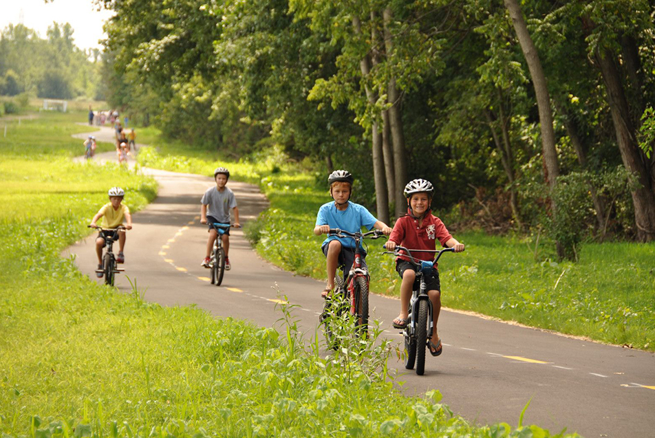
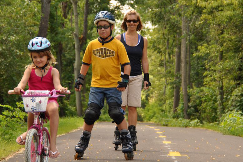
It’s Family Health & Fitness Day and we’re turning the spotlight on some of the beautiful, beneficial, blossoming trails running conveniently through our region! We reached out to community members, as well as our friends at Visit Fort Wayne and Fort Wayne Public Works to identify the best paths for the public to pop on and enjoy.
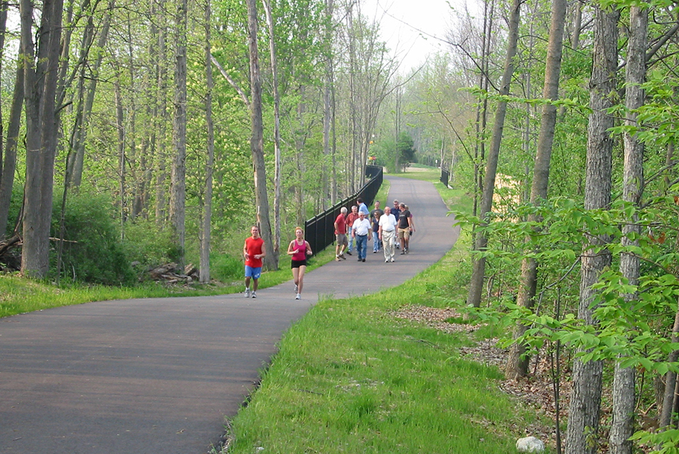
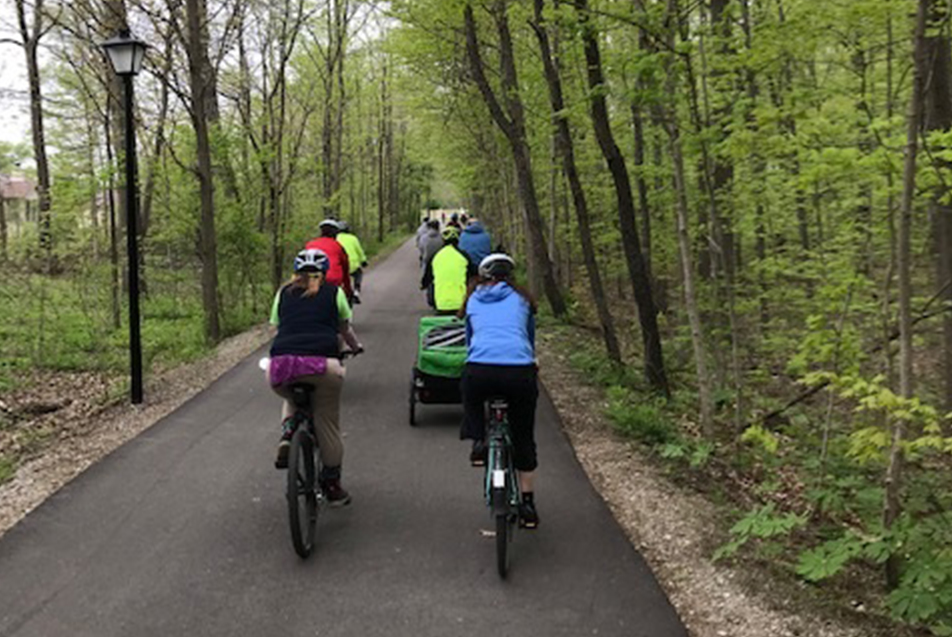
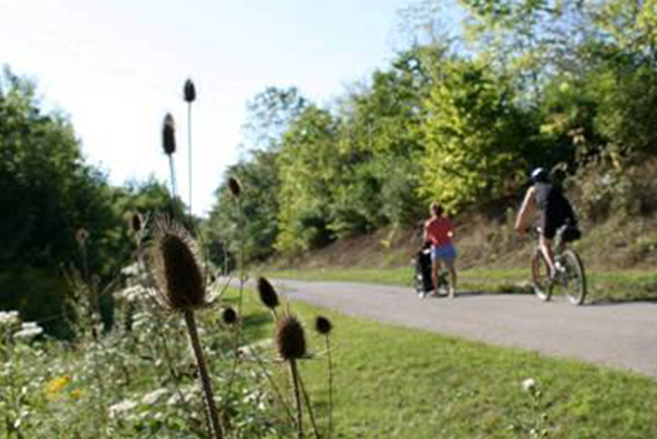
The best part about trails? They support so many kinds of physical activity. Whether you like strolling, skating, jogging or biking, there’s a path for you, and it’s likely not too far away from your front door.
ALLEN COUNTY
Name: Rivergreenway
Length: 26.15 miles
Where to access: Shoaff Park, Purdue Fort Wayne, Johnny Appleseed Park, Lawton Park, Carrington Field, North River Road Trailhead, Kreager Park, Moser Park, Bloomingdale Park, Swinney Park, Foster Park and Tillman Park
Recommended activities: Walking, running, hiking, dog walking, nature study, bird watching, biking, rollerblading, skateboarding and cross country skiing in the winter on the Maumee Pathway
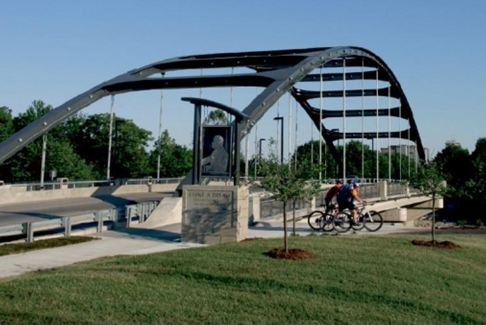
Of note: The Rivergreenway is designated a National Recreation Trail by the National Park Service. It’s a linear park in Fort Wayne and New Haven running along the St. Joseph, St. Marys and Maumee Rivers. The multi-use trail offers natural vistas and scenic overlooks within an urban environment. The Rivergreenway winds through more than a dozen parks, historic neighborhoods and downtown Fort Wayne, while serving as the backbone of a 115-mile trail network that is continually expanding.

Name: Wabash and Erie Canal “Towpath Trail”
Length: 5.5 miles
Where to access: Rockhill Park, Glendale Road and Engle Road Trailhead
Recommended activities: walking, running, hiking, dog walking, nature study, bird watching, biking, rollerblading and skateboarding
Of note: The Towpath Trail follows the historic Wabash and Erie Canal. The trail connects the 26-mile Rivergreenway with the 20+ miles of Aboite Trails. The Towpath Trail is pleasantly scenic, passing along several waterways and wetland areas, including Eagle Marsh Nature Preserve, a 756-acre wetland with 10+ miles of hiking trails.
Name: Pufferbelly Trail
Length: 4.7 miles from Washington Center Road to Life Bridge Church; 1 mile north of State Boulevard to Fernhill Avenue; 0.63 miles south of State Boulevard to Fourth Street and the Rivergreenway – total of 6.3 miles completed of 13-mile long trail
Where to access: Life Bridge Church, Salomon Farm, Parkview YMCA, Ludwig Road Trailhead at Smith Field, Fernhill Avenue Trailhead at SportONE Parkview Fieldhouse, Vesey Park and Franke Park, Lawton Park
Recommended activities: walking, running, hiking, dog walking, nature study, bird watching, biking, rollerblading, skateboarding
Of note: The Pufferbelly Trail is a Rail-Trail named for steam locomotives (nicknamed “pufferbellies”). Much of this trail follows the former New York Central Railroad Corridor. When completed, the Pufferbelly Trail will stretch 13 miles from Downtown Fort Wayne and the Rivergreenway to the Dekalb County Line in Allen County. The Pufferbelly Trail is part of a longer State Visionary Trail called the Poka-Bache Connector, which will be 81 miles in length when completed, connecting Pokagon State Park in Angola with Ouabache State Park in Bluffton. Currently, there are three segments of the Pufferbelly Trail completed. The segments are separated by two gaps, which should be filled in the next few years. There are also plans for a 4.3-mile expansion of the Pufferbelly Trail from its northern terminus at Life Bridge Church to Fitch Road in 2021 by Allen County and Fort Wayne Trails, Inc.
WABASH COUNTY
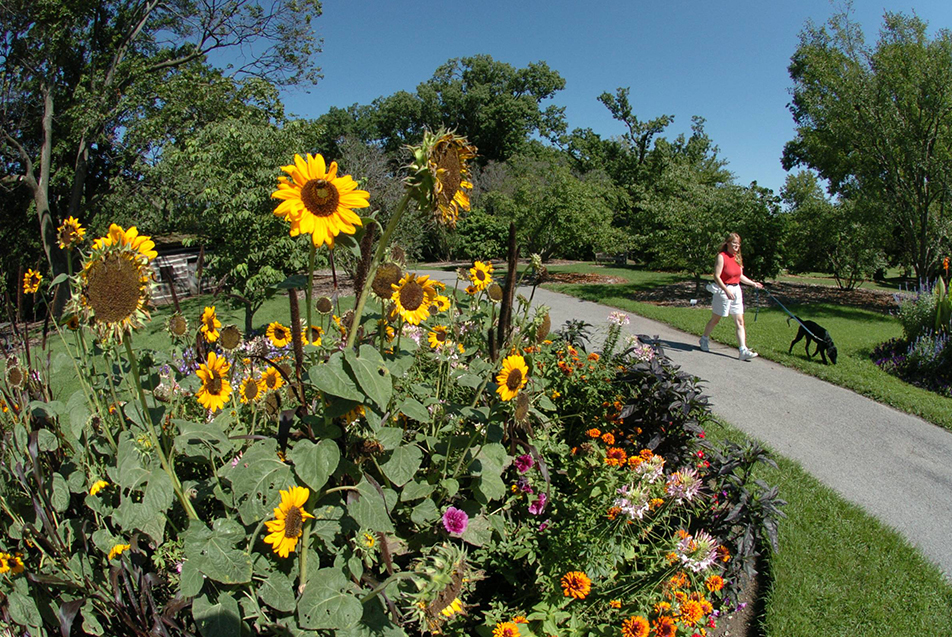
Name: Charley Creek Gardens*
Length: 0.43 miles
Where to access: Parking is available in the lot at the entrance to the trail, 518 N. Wabash Street
Recommended activities: Walking, jogging, nature viewing
Of note: The Charley Creek Gardens is a peaceful, paved path lined with many beautiful flowers and art sculptures. The Gardens also features a waterfall, tree maze and labyrinth. The gardens are managed by the Honeywell Foundation and open 365 days a year from dusk to dawn.
Name: Charley Creek Trail*
Length: 0.75 miles
Where to access: Runs between O.J. Neighbors Elementary School and the Morrett Sports Complex
Of note: The 0.44-mile walking path around the pond on the Parkview Wabash Hospital campus is the northern terminus of this trail. The scenic pond has two picturesque fountains and is ringed by the paved path. Benches offer resting spots, and the Steicher Naragon Pavilion provides shade and several picnic tables. On-street parking only. (Due to construction on Alber Street during July, access to the street just north of the path may be restricted at the west end.)
Name: Paradise Spring Riverwalk Trail*
Length: 0.82 miles
Where to access: Upper parking lot located on Canal Street
Of note: A closed loop trail at Paradise Spring Historical Park. Enjoy points of interest including the treaty negotiation camp and log cabins that reflect pioneer life in Wabash. Also stop to get a scenic view of the Wabash River at an overlook deck.
Name: Wabash Riverwalk Trail (connects to Paradise Spring)
Length: 0.75 miles
Where to access: The trail begins at the lower level parking log of Paradise Spring Historical park, located off of Huntington Street.
Of note: The oldest sycamore tree in Wabash County resides along this trail. Safe crossing of Wabash Street (Hwy 15) is via the Wabash Bridge underpass.
The three trails above are maintained by the Wabash Parks Department, and are suitable for walking, bicycling, running and skating.
Name: Wabash Cultural Trail
Length: 1.47 miles
Where to access: Begins at the corner of Canal St. and Carroll St. in Downtown Wabash
Of note: View several points of interest in our city, including the Honeywell Center, Women’s Clubhouse, Dr. James Ford Historic Home and more, as you walk, run or bike along sidewalks.
Name: Wabash County Bike Trail
Length: 92 miles
Where to access: Access a full map of the trail.
Of note: The Wabash County Bike Trail has many start and stop points throughout the county and can be tailored to your activity level. Sites of interest along the trail include Hanging Rock, the Roann Covered Bridge and Stockdale Mill.
KOSCIUSCKO COUNTY
Name: Winona Lake Trails
Length: Approximately 9 miles
Where to access: Park at Winona City park. Head south on Park Avenue to Union Drive. Head of trail is located at end of the road.
Recommended activities: Biking, off-road mountain biking, running and walking.
Of note: There are large paved sections of road and a system of wooded biking paths. The trails also include a large wooden bridge as well as several sculptural pieces and benches to stop and enjoy the creek. Winona Lake trails is home of the Fat & Skinny Tire Festival that draws thousands of biking enthusiasts to the area every summer.
WHITLEY COUNTY
Name: Blue River Trail
Length: 4.6 miles
Where to access: Begin at Whitley Street next to the Fire Museum, travel around the pond at Morsches Park, and head back to Whitley Street
Recommended activities: When walking on the trail you will go through Morsches Park. In this park there are areas and benches for a picnic, playground area for kids, a “Splash Pad”, and a pond where you can fish (catch and release).
Of note: Morsches Park (a portion of the trail) closes at 11 p.m.
Name: Mountain Bike Trails
Length: 7 miles
Where to access: Entrance is located at the tennis courts parking lot near Morsches Park entrance; this is where the trail starts and ends
Recommended activities: Off-road cycling
Of note: This path offers a lot of great opportunities to observe wild life.
Name: Crooked Lake Nature Trail
Length: 1.9 miles (looped trail)
Where to access: 1040 E 700 N, Columbia City, IN 46725
Recommended activities: Observing wildlife
Of note: Trail takes you along Crooked Lake, great view of lake at top of a small incline. Leashed dogs are welcome on this trail.
LAGRANGE COUNTY
Name: Pumpkinvine Nature Trail
Length: 17.6 miles
Where to access: N. County Road 850 S, just north of W. County Road 250 N in Shipshewana and N. Fifth St. just south of Crescent St. (Goshen)
Recommended activities: Bike, inline skating, wheelchair accessible, walking, cross country skiing
Of note: Trail surfaces are asphalt and crushed stone.
Looking for inspiration?
Consult this trail itinerary and bike itinerary created by Visit Fort Wayne.